 The full 89 page copy of the material presented at the April 8 meeting can be found online at the County website. Or read our summary below and follow on an enlarged map.
Seven of the 11 changes in the April 8th proposal are on Johns Island, numbers 4 thru 11, as follows (acreage estimated from Google Earth):
The full 89 page copy of the material presented at the April 8 meeting can be found online at the County website. Or read our summary below and follow on an enlarged map.
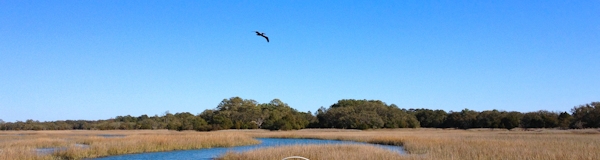
Seven of the 11 changes in the April 8th proposal are on Johns Island, numbers 4 thru 11, as follows (acreage estimated from Google Earth):
— #4 Brownswood, 480 acres
— #5 Brownswood/Main, 20 acres
— #6 Shell Island Trace, 80 acres
— #7 Harold Mahan Rd, 38 acres
— #8 Plowground / River Rd (Waterloo), 280 acres
— #9 Trucklands, 25 acres
— #10 Kiawah River Plantation, 800 acres upland
— #11 Betsey Kerrison, 34 acres
• Brownswood/Main (#5), Shell Island Trace (#6), Harold Mahan Rd (#7), Trucklands (#9) and Betsy Kerrison Pkwy (#11) are relatively small (total 200 acres). These changes add to the rural zone and correct the boundary to make it consist with current zoning and existing individual lots.
• Brownswood (#4), approx. 480 acre expansion of UGB.
— “Differs from the location of the City of Charleston UGBâ€. About 50 acres of the 480 is already in the City jurisdiction, the rest is still in the County. Perhaps the County UGB could be adjusted for the 50 acres within the City and the City could adjust their UGB definition to conform to the County portion that is not in the City?
— “No future land use recommendation changes at this timeâ€
— About a dozen lots of 10 – 20 acres each will be eligible for greater density.
• Plowground / River Rd (#8) approx. 280 acres “giveback†in the Waterloo development. Most of these lots, approximately 50 of 80 total, 1 -2 acres each, already platted, are owned by a developer (Caroline Path of SC LLC) and, while they have been listed for sale, there has been little activity.
• Kiawah River Plantation (#10 – KRP), approx. 1,600 acres, 800 are unbuildable marsh area. “Adjust the County UGB to follow the parcel boundaries.†KRP is an already approved (2009) planned development. The overall parcel is 2,000 acres and is split between the urban and rural zone.
The developer the Beach Company already received a generous density allowance (1,600 units in 1,200 upland acres) in the 2009 agreement by combining the urban and rural density. They were committed to one acre density in the part that is still in the rural zone. Will this change allow the quarter acre urban density? The Beach Company is an influential developer and presumably knows of and supports this proposed change. What advantage would they have in this change? While some of the other changes were proposed to make the UGB conform to existing property lines, they are all small parcels of 10 acres or so. No other change involves such are large controversial property.